NYC zoning · all five boroughs
NYC zoning lookup for your lot.
Search an NYC address to explore recorded zoning districts, FAR and a preliminary building envelope. Estimates depend on recorded data and modeled assumptions; confirm current requirements before relying on them. Free to explore.
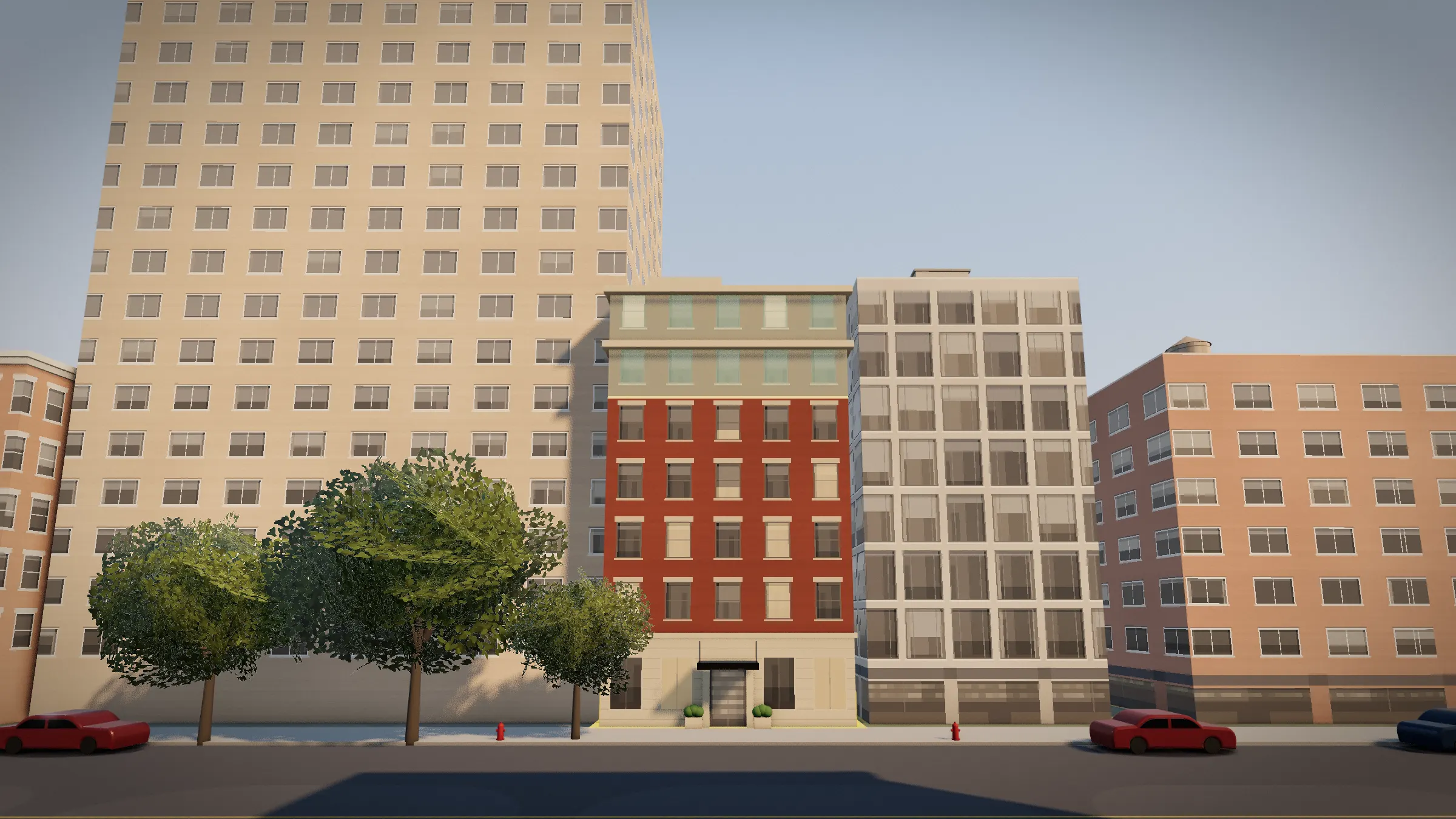
Eleven steps through a preliminary zoning envelope, with references to the modeled rules. This is a screening estimate, not a determination of development rights.
Free on the map
Three NYC lots, answered
Each figure is what the free map shows for that lot, worked out from the city's own lot records and zoning rules.
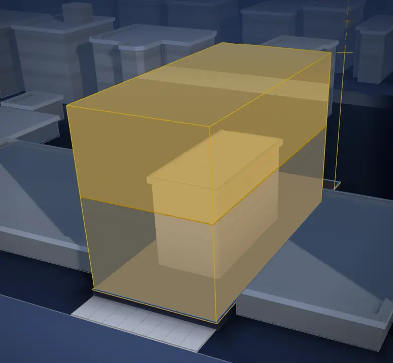
1187 Ocean Ave, Brooklyn
About 16,000 sq ft
you could still build
See it built step by step →Today2,606 sq ftZoning allows18,700 sq ftabout 55 ft, 5 floors
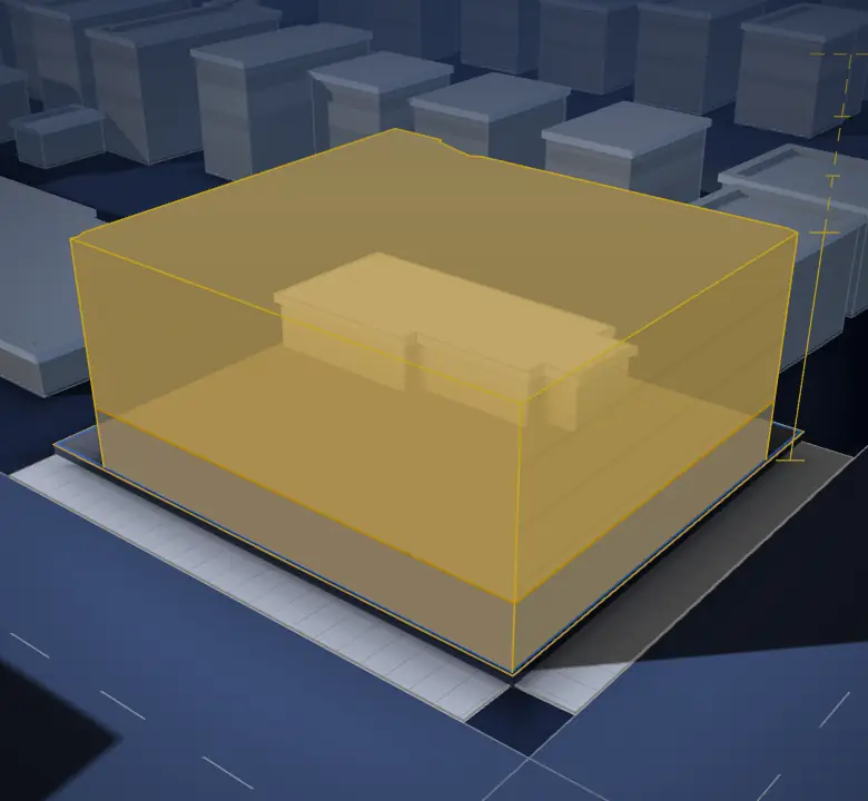
187-41 Hillside Ave, Queens
About 31,000 sq ft
you could still build
See it built step by step →Today2,590 sq ftZoning allows33,600 sq ftabout 45 ft, 4 floors
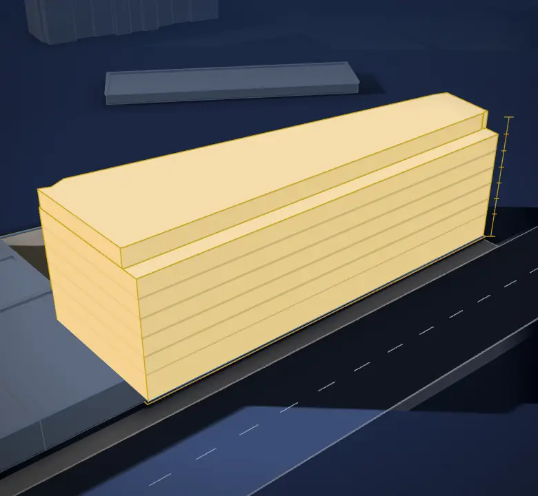
945 White Plains Rd, Bronx
About 109,000 sq ft (est.)
if the lot is truly vacant (unverified)
See it built step by step →Today0 sq ft on file (records disagree)Zoning allowsabout 109,000 sq ftabout 75 ft, 7 floors
Gold is what zoning allows.Grey is what stands there today.
Parcel report · $49 one time
Adds the owner of record, the most recent recorded deed and sale price, and flood-zone information where available.
See a sample report: the Empire State Building →Covers the five boroughs. Estimates from public records, not legal advice.
Try your own address
Any lot in the five boroughs. The answer is free.
NYC zoning districts
FAR, height limits and parcel counts for each district, from the zoning district index.
- C1-9
- C3A
- C4-2
- C4-2A
- C4-3
- C4-4
- C4-4A
- C4-4D
- C6-2A
- C6-4
- C8-1
- C8-2
- M1-1
- M1-2
- M1-2/R6A
- M1-2D
- M1-4
- M2-1
- M3-1
- R1-1
- R1-2
- R1-2A
- R2
- R2A
- R2X
- R3-1
- R3-2
- R3A
- R3X
- R4
- R4-1
- R4A
- R4B
- R5
- R5A
- R5B
- R5D
- R6
- R6A
- R6B
- R7-1
- R7-2
- R7A
- R7B
- R7D
- R7X
- R8
- R8A
- R8B
- R10
- R10A
By borough: Manhattan, Brooklyn, Queens, The Bronx, Staten Island
Questions
What is NYRezone?
NYRezone is an NYC zoning lookup and screening tool. Search an address in the five boroughs for its zoning district, recorded FAR and a 3D estimate. The map is free. A $49 one-time parcel report adds public-record detail; zoning capacity and development rights need independent professional review.
Is NYRezone legit? Where does the data come from?
NYRezone uses NYC Department of City Planning MapPLUTO for parcel and zoning fields and ACRIS for recorded deeds. Its 3D models and scores are estimates derived from public data, not city approvals. Outside NYC, Westchester and Suffolk offer assessment and ownership data; Nassau has parcel geometry only, with no zoning or FAR analysis.
What does a NYRezone report include?
A $49 one-time NYC parcel report brings together zoning district and FAR fields, lot and building area, owner of record, the most recent recorded deed and sale price, and flood-zone information where available. It is a preliminary screen, not a title search, legal opinion, permit or confirmation of buildable floor area. Source records may lag recent changes.